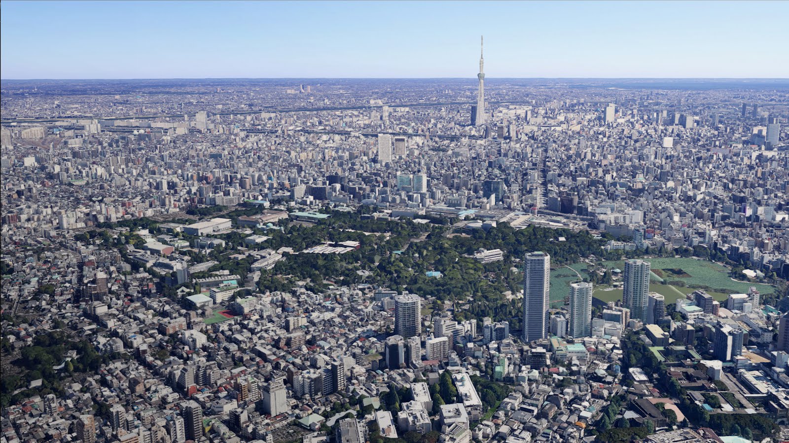
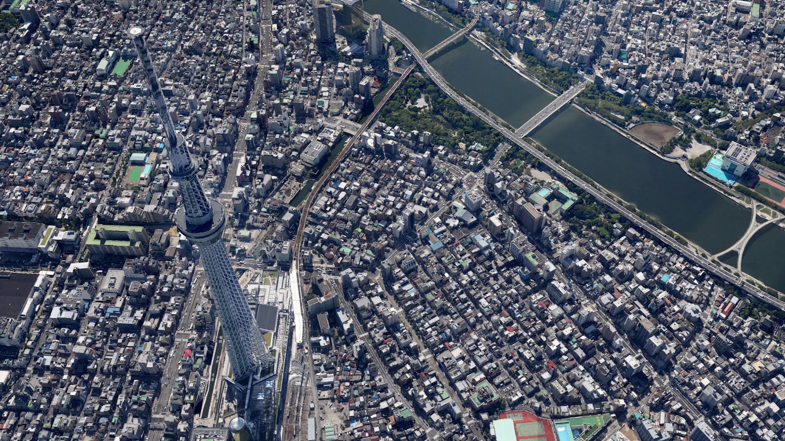
Have you ever dreamed of skydiving over Tokyo without having to jump out of a plane? With new 3D imagery on Google Maps and Google Earth, you can now virtually glide above Tokyo, Chiba, Sendai and Kanagawa, experiencing immersive and realistic views of these areas right from your desktop or mobile device. You can access the new 3D imagery through Earth View in Google Maps, Google Earth, and Google Earth for mobile.
Previously, people from around the world could view these prefectures through satellite and aerial photos on Google Maps and Google Earth, as well as through Street View. This new imagery adds fully 3D digital views of major landmarks, such as the
Tokyo Tower and
Tokyo Sky Tree, as well as surrounding buildings, topographies, and
parks.
We hope you have fun virtually soaring over these new 3D areas in Japan.
Posted by Setsuto Murai, Strategic Partnerships Manager, Google Japan

Please I have been waiting this to take effect on maps permanently! Like iOS maps. They look incredible. I hope more of the world is coming soon
ReplyDeleteThat's a really nice way to view attractions. The Sky Tree looks amazing.
ReplyDeleteWe need this for the whole world!!
ReplyDeleteThis is Amazing !!!
ReplyDeleteChina need this 3D maps
ReplyDeleteWhat other cities are available?
ReplyDelete@陈栎潼 in China Google would develop the world first 3D smog map.
ReplyDeleteLet's not forget Yokohama. Minato Mirai and landmark square is looking good!
ReplyDeleteAn incredible sight!!!
ReplyDeleteesto visto de Tucuman - San Miguel de Tucuman - cabecera del NOA de la República Argentina - cono sur del planeta Tierra - A los 73 años es un espectáculo absolutamente increíble
ReplyDeleteI don't see the 3D.
ReplyDeleteincredible continue with the rest of the world
ReplyDeletesesuatu yang baru dan indah ..
ReplyDeleteGoogle+ is the worst idea for a long time. Censorship is another.
ReplyDelete