In the middle of the Sulu Sea lies Tubbataha, a name that in the Philippine Samal language means “long reef exposed at low tide”. But really, it’s what lies 100 meters below the reef that has captured the imagination of divers and marine biologists — and the team at The Catlin Seaview Survey, our partners in bringing more stunning underwater imagery to Google Street View.
 In celebration of World Oceans Day this Sunday, June 8, we’re inviting you to dive into Tubbataha Reef and swim among some of the 374 species of corals, turtles, sharks and fish — all while staying dry. One of the Philippines’ oldest ecosystems, Tubbataha Reef is home to a very high density of marine species, and is famous for a 100 meter perpendicular wall of underwater wildlife. This is what led UNESCO to name Tubbataha Reefs Natural Park a World Heritage Site.

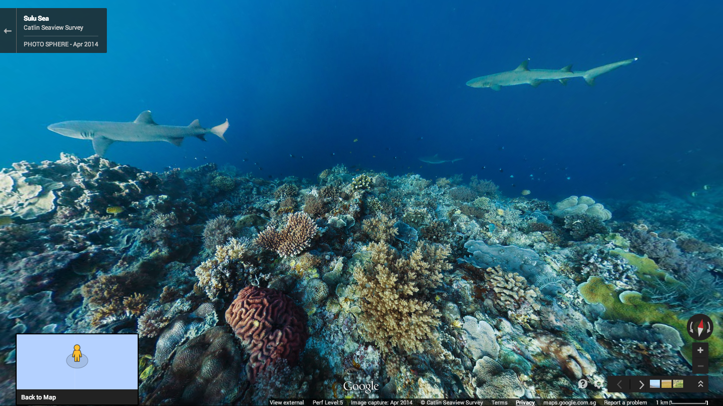
Tubbataha joins the Apo Islands on Underwater Street View for the Philippines. Both were captured by The Catlin Seaview Survey team using their 360-degree panoramic SVII cameras. We hope that through this project, we can bring the beauty of these Philippine marine habitats to the world, and create a scientific record to enable marine biologists to monitor their changing health over time.
Posted by Ryan Morales, Country Marketing Manager, Google Philippines
No comments:
Post a Comment